admin@aqcc.net
Technical Surveys
OLS Surveys (ICAO Annex 14 compliant)
We conduct Obstacle Limitation Surface (OLS) Surveys in full compliance with ICAO Annex 14 standards, ensuring safe and obstruction-free aviation operations. Our team performs detailed topographical assessments, obstacle identification, height analysis, and airspace mapping to protect approach, take-off, and transitional surfaces. We deliver accurate data, certified reports, and regulatory-ready documentation for seamless aviation approvals and operational safety.
Bathymetric Surveys (multi-beam / single-beam sonar)
We conduct Obstacle Limitation Surface (OLS) Surveys in full compliance with ICAO Annex 14 standards, ensuring safe and obstruction-free aviation operations. Our team performs detailed topographical assessments, obstacle identification, height analysis, and airspace mapping to protect approach, take-off, and transitional surfaces. We deliver accurate data, certified reports, and regulatory-ready documentation for seamless aviation approvals and operational safety.
Topographic Surveys (DGPS / Total Station / Drone LiDAR)
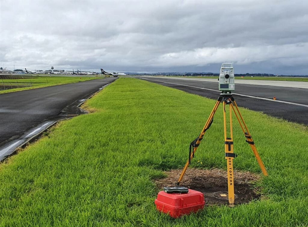
We provide high-precision topographic surveys using DGPS, total stations, and drone LiDAR technology to capture accurate terrain data. Our surveys support master planning, runway alignment, waterdrome layout, and infrastructure design. By delivering detailed contour mapping, elevation models, and obstacle data, we ensure engineering accuracy, regulatory compliance, and informed decision-making for aviation infrastructure development projects.
Geotechnical Investigations (Boreholes, Soil Testing)
Our geotechnical investigations include borehole drilling, soil sampling, laboratory testing, and subsurface analysis to assess ground stability and load-bearing capacity. We evaluate soil composition, groundwater conditions, and foundation requirements to support safe construction of terminals, jetties, helipads, and runway structures. Our reports provide critical data for structural design, risk mitigation, and long-term infrastructure durability.
Hydrological & Wave Modelling
We conduct detailed hydrological assessments and wave modelling studies to evaluate water flow patterns, tidal variations, current velocity, and wave impact on marine aviation infrastructure. These studies are essential for safe waterdrome planning, jetty design, and shoreline protection. Our simulations help optimize site selection, operational safety, and structural resilience under varying environmental conditions.
Drone Photogrammetry & GIS Mapping
Using advanced drone photogrammetry and GIS mapping technologies, we generate high-resolution aerial imagery, 3D models, and geospatial data for aviation projects. Our services support site analysis, obstacle mapping, land-use assessment, and planning approvals. By integrating spatial intelligence with engineering precision, we enhance project accuracy, efficiency, and data-driven decision-making.